Colorado Overview
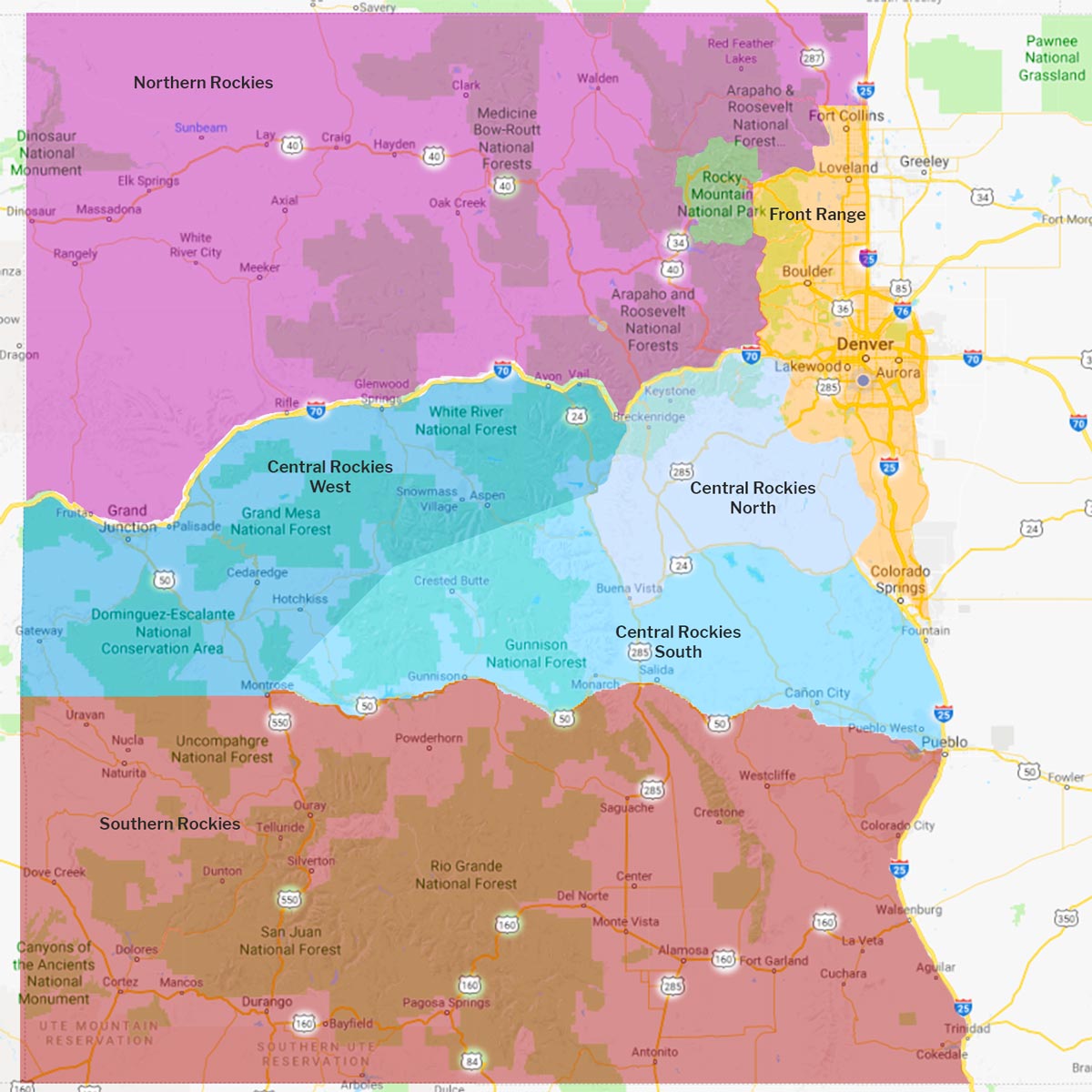
I’ve divided Colorado into seven regions based on access and major highways.
 Front Range
 Central Rockies N
 Central Rockies S
 Central Rockies W
 Northern Rockies
 Southern Rockies
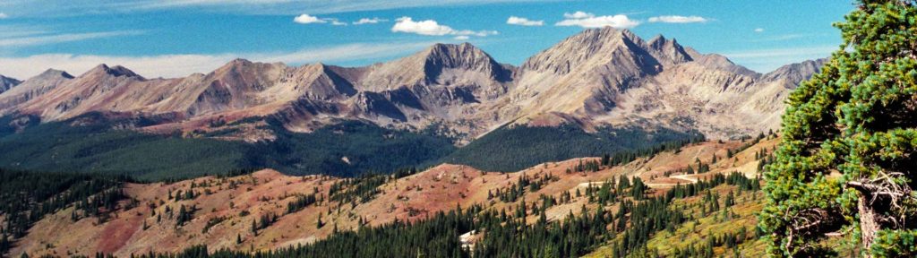
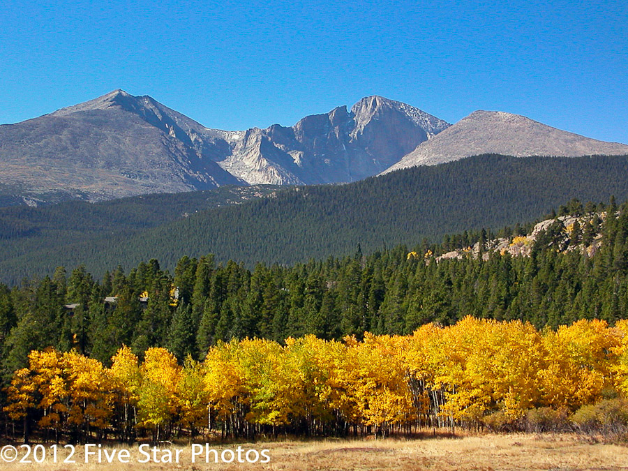
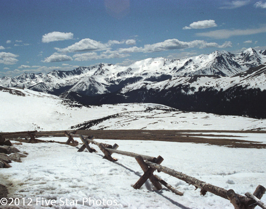
 Rocky Mountain NP
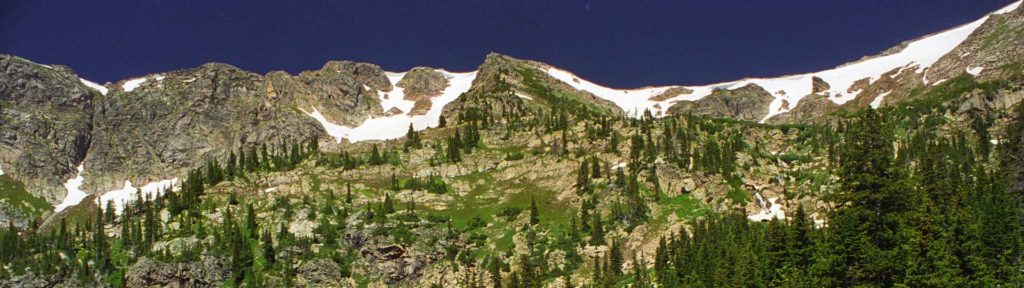
And yes, I’m ignoring the eastern plains!
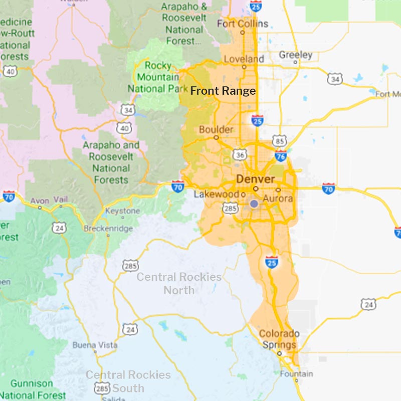
From Ft Collins in the north to Colorado Springs in the south and Denver in the middle, the Front Range has an amazing variety of photo opportunities.
- Easy day and half-day trips throughout the region.
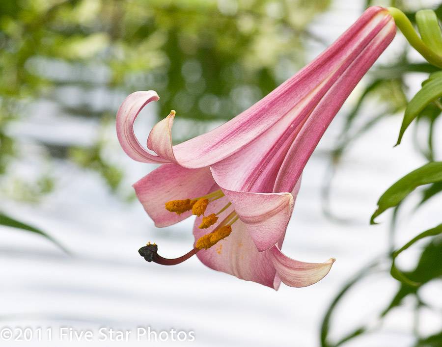
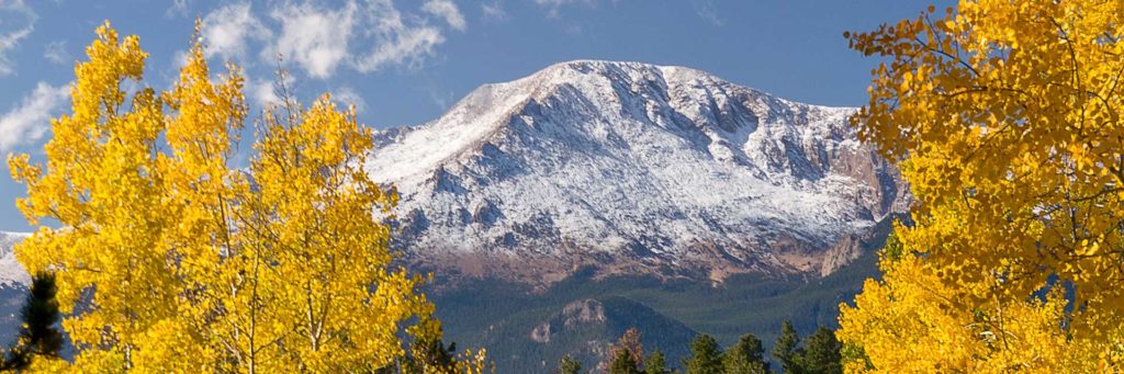
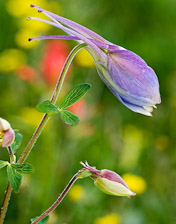
- From the 14,000+ altitude of Pike’s Peak to butterflies and orchids on a winter’s day—photo ops are available year long.
From animals and flowers to red rocks and hot air balloons!
Highlights:
 Denver Zoo
 Red Rocks Park | Roxborough State Park
 Butterfly Pavilion | Denver Botanic Gardens
 Red Rocks Park | Roxborough State Park
 Chatfield State Park
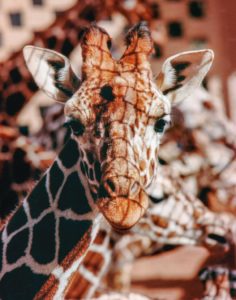
From face to face with a giraffe to 14,100 feet!
Highlights:
- Cheyenne Mountain Zoo
- Garden of the Gods | Pikes Peak
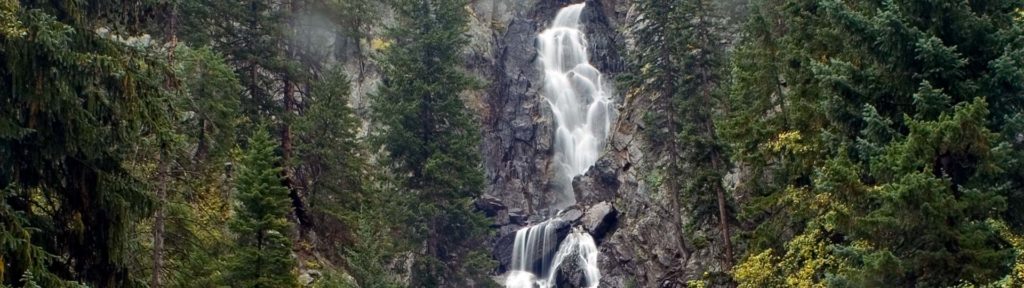
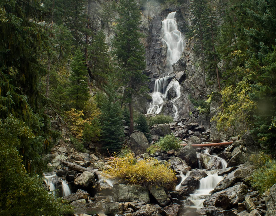
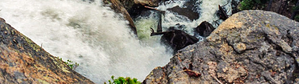
 Helen Hunt Falls
- Pikes Peak

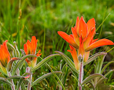
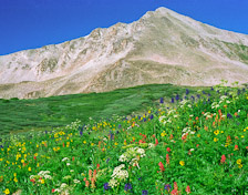
From rock climbing, wildflowers and wildlife to outstanding vistas!
Highlights:
 White Ranch Park | Golden Gate Canyon SP
- Balanced Rock, Mt Herman Rd | Panorama Point, Golden Gate Canyon SP | Pikes Peak, Rampart Range Rd
 Eldorado Canyon SP | Golden Gate Canyon SP
- White Ranch Park | Golden Gate Canyon SP
From Blackhawk to Wild Basin-RMNP

Highlights:
- Moffat Tunnel-Rollins Pass Rd | Indian Peaks Wilderness | Wild Basin
- Pawnee Pass | Indian Peaks Wilderness
- Wild Basin | Boulder Falls
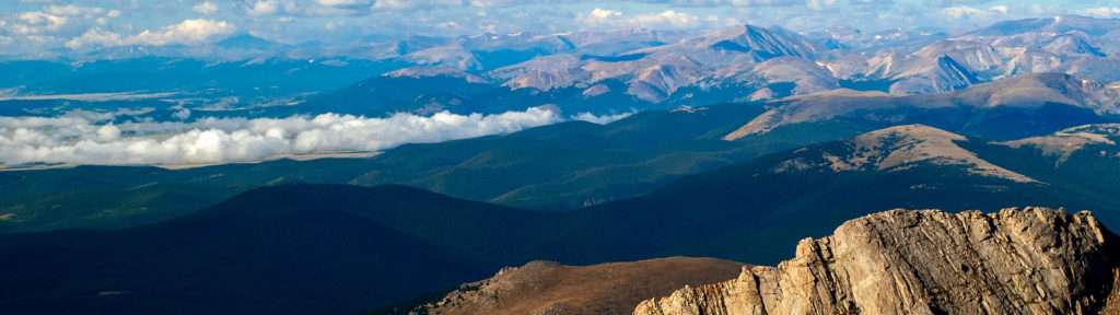

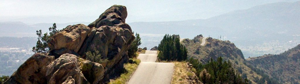
Bordered on the north by I-70, on the west and south by US 24 and on the east by the Front Range region.
- I-70 west from Denver provides access to multiple day trips, including Mt Evans—Highest paved road in North America.
- US 285, heading southwest from Denver, provides access to easy day trips to five different passes—all with great vistas!
- Shrine Pass I-70 exit 190 – Vail Pass Rest Area is a hidden gem passable by most vehicles in decent conditions.
Highlights:
- Guanella Pass Scenic Byway
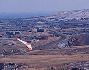
 Combat wings and hang gliders on the Lariat Loop
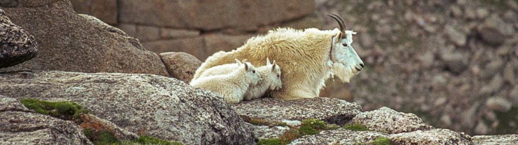
- Wildlife and bristlecone pines on Mt Evans
 Summer skiers on St Marys Glacier
 Guanella Pass
- Moon over A-Basin from east side of Loveland Pass

Highlights:
- Shrine Pass
- Mohawk Lake | Shrine Pass | Mayflower Gulch | Ute Pass
- Mohawk Lake
- Especially photogenic Mohawk Lake | Ute Pass | Shrine Pass | Mayflower Gulch
Highlights:
- Guanella Pass | Kenosha Pass | Weston Pass
 Boreas Pass
- Georgia Pass
- All of these passes have terrific vistas!

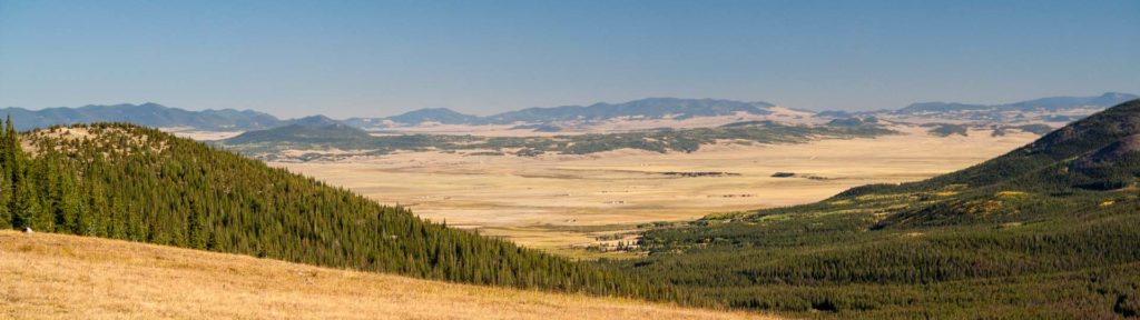
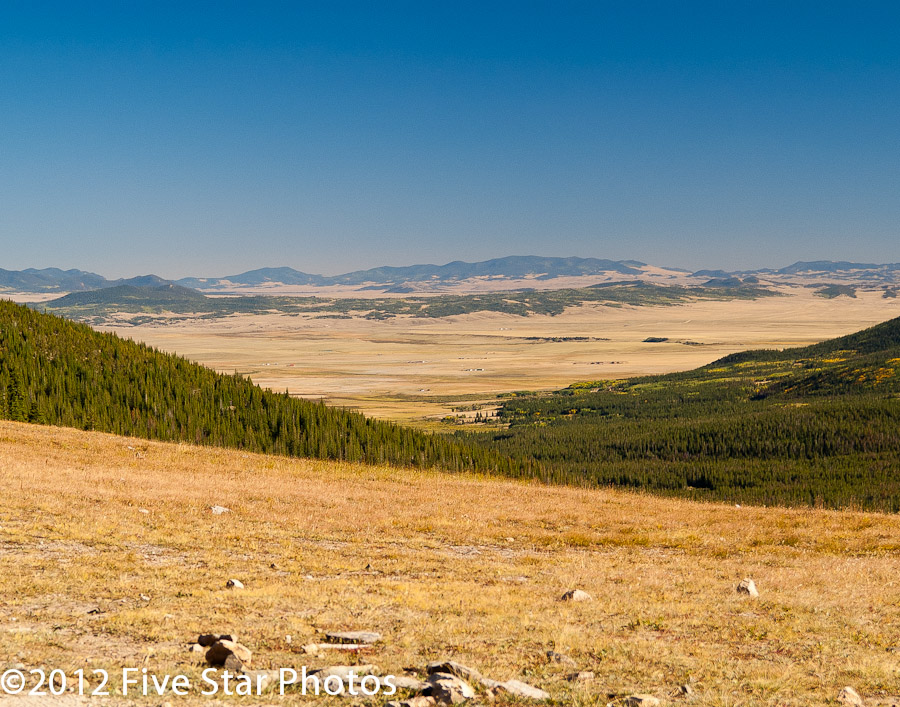
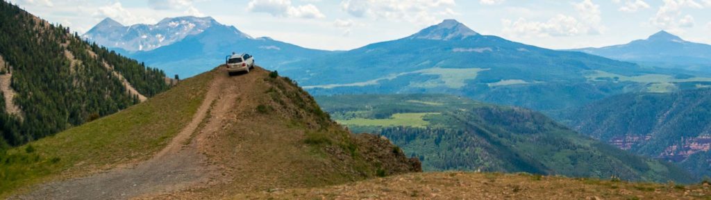
Bordered on the north by US 24, on the east by I-25 and on the south by US 50. The northwest boundary is an arbitrary line.
- Access from US 285 to the junction with US 24 enters the region near its midpoint and continues to US 50 at Poncha Springs.
- I-25 to US 50 in Pueblo and west to Montrose provides access to the entire region. Not an official scenic byway, but it is worthy of consideration.
- Outstanding scenery in the entire area.
- Italian Creek Rd – Texas Creek
- Cottonwood Pass – Cumberland Pass
- Spring Creek

 Taylor Canyon-Gold Medal trout waters
 Hundred’s of beautiful dispersed camping spots.
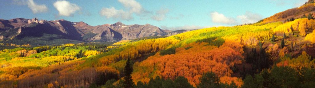
- Billed as “The Wildflower Capital of Colorado”, Crested Butte doesn’t disappoint. Try Cement Creek or the Lake Irwin area.
- Kebler Pass – Ohio Pass
- Scenery on the Slate River/Washington Gulch loop is spectacular.

Highlights:
- Skyline Dr is unique; a must see.
- Shelf Road – High Park

 in Victor on the Phantom Canyon Rd.
- Especially around Cripple Creek.
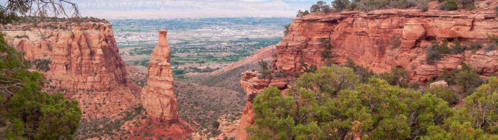


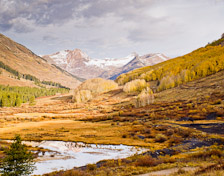
Highlights:
- Hanging Lake is unique and beautiful – Rifle Falls
- Grand Mesa
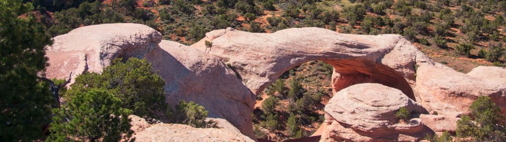
- 450 ft tall Independence Monument in the Colorado NM – Natural stone arches in Rattlesnake Canyon
- Rifle Falls – Grand Mesa
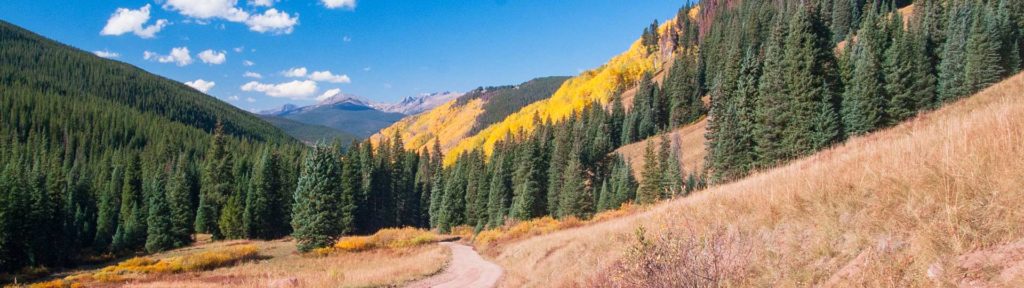
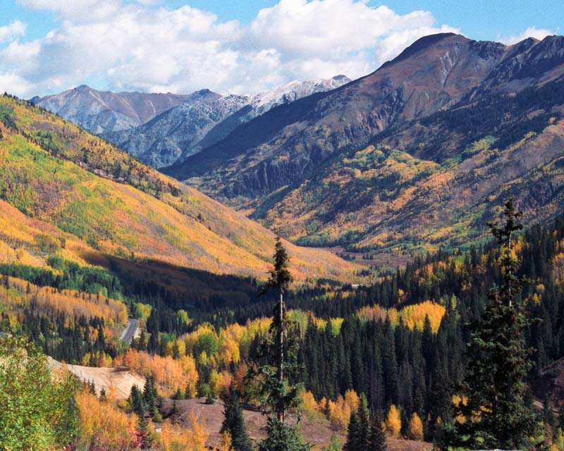
Highlights:
- Along the entire route
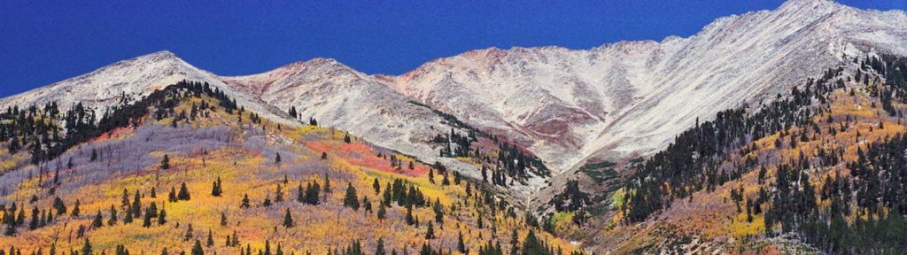
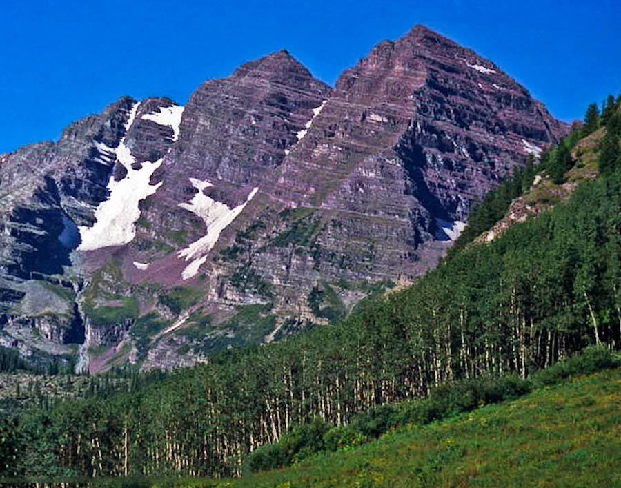
- Independence Pass – Maroon Bells
- The Grottos area along Independence Pass
- The Maroon Bells reflected in Maroon Lake – Ptarmigan Pass
Highlights:
- The photogenic Mill on the Crystal River
- Black Canyon-North Rim – Marble/Crystal Mill
- Marble/Crystal Mill
- Black Canyon of the Gunnison from the North Rim overlooks
 Boat tour on the Morrow Point reservoir in the Curecanti NRA

Bordered on the east by RMNP and the Front Range regions and on the south by I-70.
- Primary access via I-70 to US 40 at the Empire exit or SH 9 north from the Silverthorne exit to join US 40 at Kremmling.
- Access the Walden area via I-25 to SH 14 in Fort Collins.
- State Highways 131 – 13 – 139 north from I-70 provide additional access to the interior of the region.

Highlights:
 Colorado River Headwaters SB
- Colorado River Headwaters SB
- Jones Pass Rd – Colorado River Headwaters SB
- Corona Pass Rd
Highlights:
- Flowers, hot springs and a waterfall within 4 miles of Steamboat Springs.
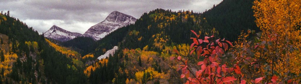
- Fantastic fall foliage and the heart stopping scenery of the Devils Causeway along the Flat Tops Scenic Byway.
- Ancient petroglyphs and pictographs, wild horses and the canyon country around Rangely.
Highlights:
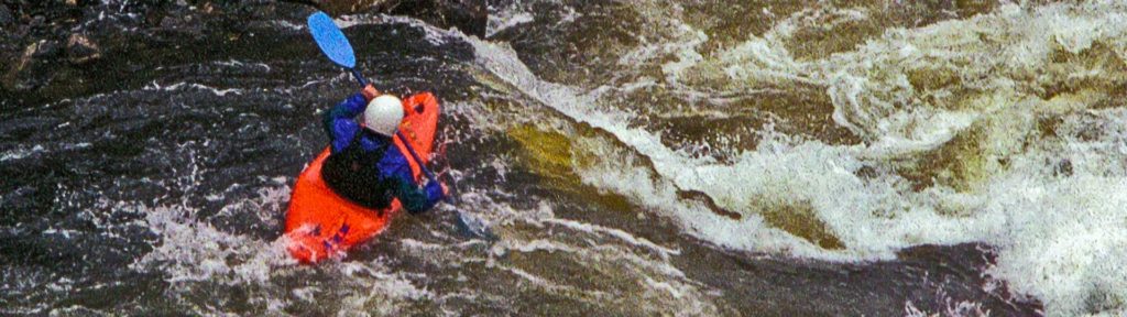
- Kayakers and outstanding scenery along the Cache la Poudre, CO’s only Ntl Wild and Scenic River.
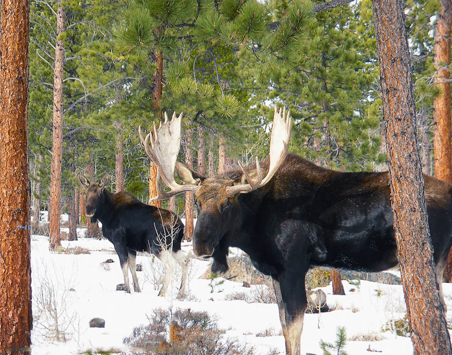
- State Forest SP has some of everything, including the largest moose herd in Colorado.
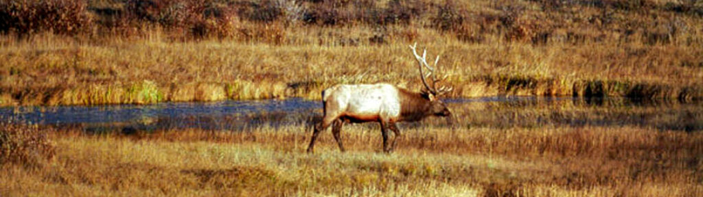
- Wonderful wildlife photo ops abound at Arapaho NWR.

Taking a large chunk out of the eastern portion of the Northern region, this is a must see destination.
There is a variety of ways to get to the park from the Denver Metro area—each one with good photo opportunities.
- I-25 north to US 34 at Loveland.
- US 36 through Boulder.
- The Peak to Peak SB to SH 72 and SH 7 through Nederland and Allenspark to Estes Park.
- Grand Lake Entrance via I-70 to US 40 to US 34.
From May 28 through October 11, 2021, visitors to Rocky Mountain National Park will need a timed entry permit AND an entrance pass to recreate in the park.
Highlights:
- On the Peak to Peak Scenic Byway
- Longs Peak Campground is located nearby.
- Ouzel Falls Tr – Chasm Lake Tr
- 360° vistas from the summits of Twin Sister and Lily Mtn Tr’s – Chasm Lake Tr
From May 28 through October 11, 2021, visitors to Rocky Mountain National Park will need a timed entry permit AND an entrance pass to recreate in the park.
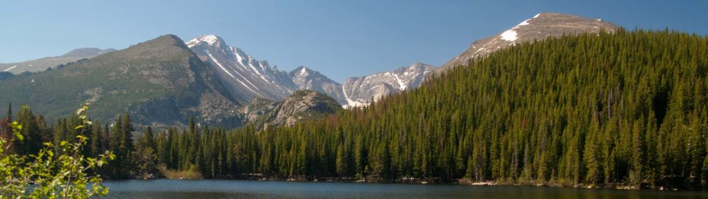
Beaver Meadows to Bear Lake
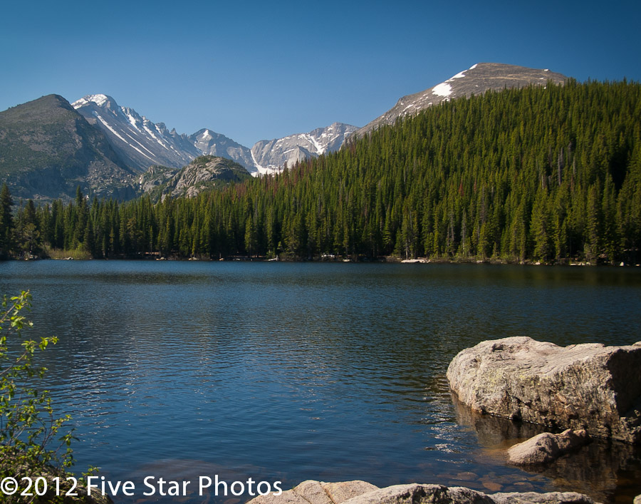
Highlights:
- Glacier Basin Campground – Moraine Park Campground
 Alberta Falls and Bear Lake trails are great hikes for families.
- Great wildlife photo ops in Moraine Park, especially the Loop trail.
From May 28 through October 11, 2021, visitors to Rocky Mountain National Park will need a timed entry permit AND an entrance pass to recreate in the park.
Highlights:
- Aspenglen Campground
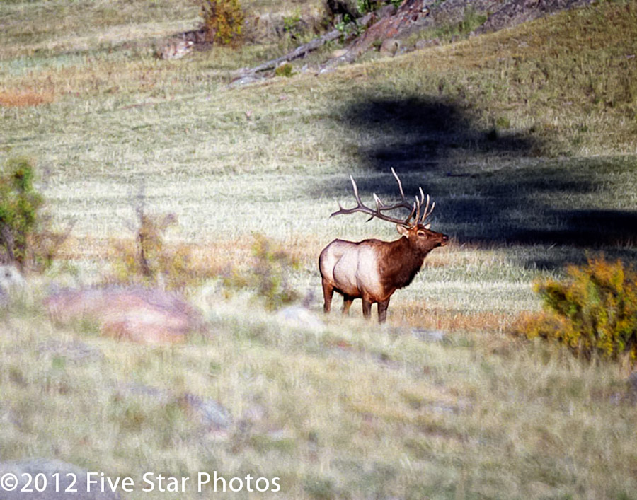
- Wonderful wildlife photo ops in Horseshoe Park.
- Superb scenery, Chasm Falls, and wildlife along the Old Fall River Rd.
From May 28 through October 11, 2021, visitors to Rocky Mountain National Park will need a timed entry permit AND an entrance pass to recreate in the park.
Highlights:
- East Trail Ridge:
- Beaver Ponds: Reflections of peaks in the ponds.
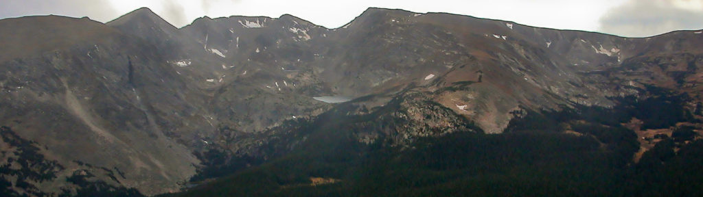
- Rock Cut: Rock formations in the foreground with the peaks, lakes and glaciers across Forest Canyon in the background.
- West Trail Ridge:
- Timber Creek Campground
- Multiple TH’s leading to outstanding backcountry photo ops.

South of US 50 (minus the Canon City area) and west of I-25. Divided into regions according to highway access.
- SH 149 Silver Thread Scenic Byway from US 50 to US 160 at South Fork. Eastern access to the Alpine Loop.
- US 550 – the San Juan Skyway – Ouray Area. Western access to the Alpine Loop.
- SH 145 and the San Juan Skyway – Telluride Area.
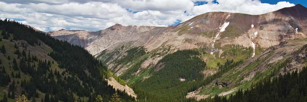
Highlights:
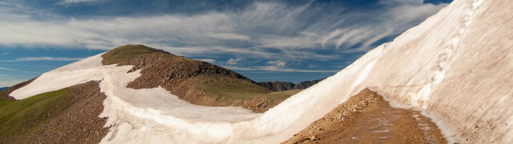
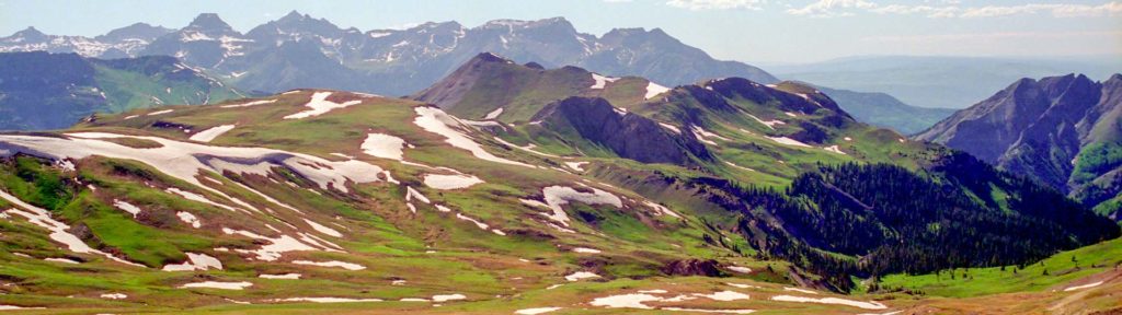
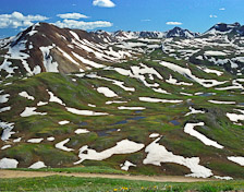
- Summer wildflowers and vistas in American Basin off the Cinnamon Pass Rd.
- Incredible vistas from Engineer Pass and Oh! Point.
- For the adventurous, scenic side roads on the way to Silverton.
- The entire area is rich in mining history and its remnants.
SH 62 from Placerville to US 550 to Durango
Ouray, surrounded on three sides with 13,000 ft peaks, is known for its large natural hot springs, picturesque Victorian architecture and the Ice Park.
Highlights:
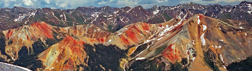
- Spectacular wildflower displays and scenery in Yankee Boy Basin
- Exceptional views along the Million Dollar Hwy, Ophir Pass Rd, Dallas Divide
- Fall foliage along Owl Creek Pass Rd, US-550
SH 145 from Placerville to Durango

Telluride is a National Historic District located in a box canyon surrounded by towering peaks. Telluride also hosts music, art, film, food, balloon, hang gliding, mushroom, and photography events and festivals.
Highlights:
- Bridal Veil Falls is a must see.
- Wildflowers in Gold King Basin
- Fall foliage on Last Dollar, Silver Pick, and Ophir Pass


Highlights:
- Skiing or sledding on the Dunes. Morning and evening shadows.
 Ranger guided tours of the cliff dwellings.
- Sheer cliffs of the spectacular Black Canyon.
- Waterfalls, access to the Alpine Loop and fantastic scenery along the Silver Thread Scenic Byway.